
01
INFRASTRUCTURE
Infrastructure
Monitor buildings, roads, construction sites and infrastructure at scale.
Airfoto transforms orthomosaics into actionable geospatial data. Automatically detect and extract buildings, trees, roads and other features as ready-to-use vector layers and analytics.
Built for organisations working with spatial data
Drop in your imagery, let custom vision engines detect what matters, and download production-ready geospatial outputs in minutes.
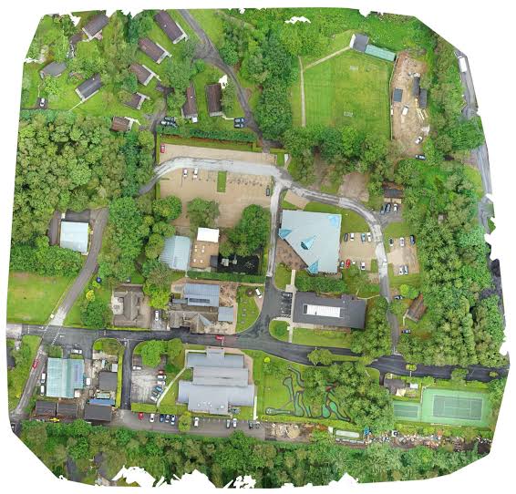
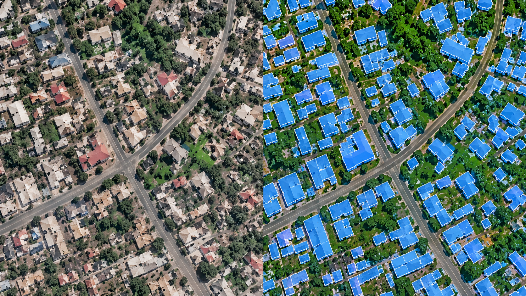
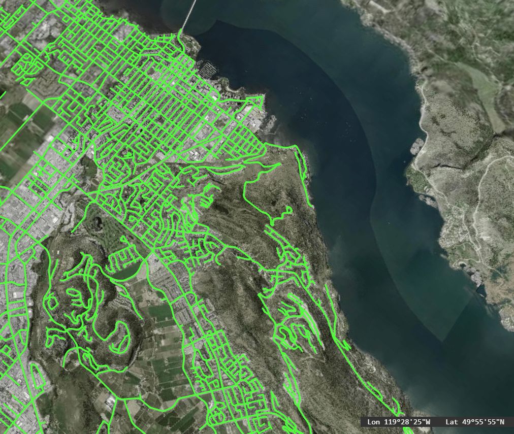
Airfoto helps organisations understand, measure and monitor physical environments using aerial imagery and geospatial AI.
Monitor buildings, roads, construction sites and infrastructure at scale.
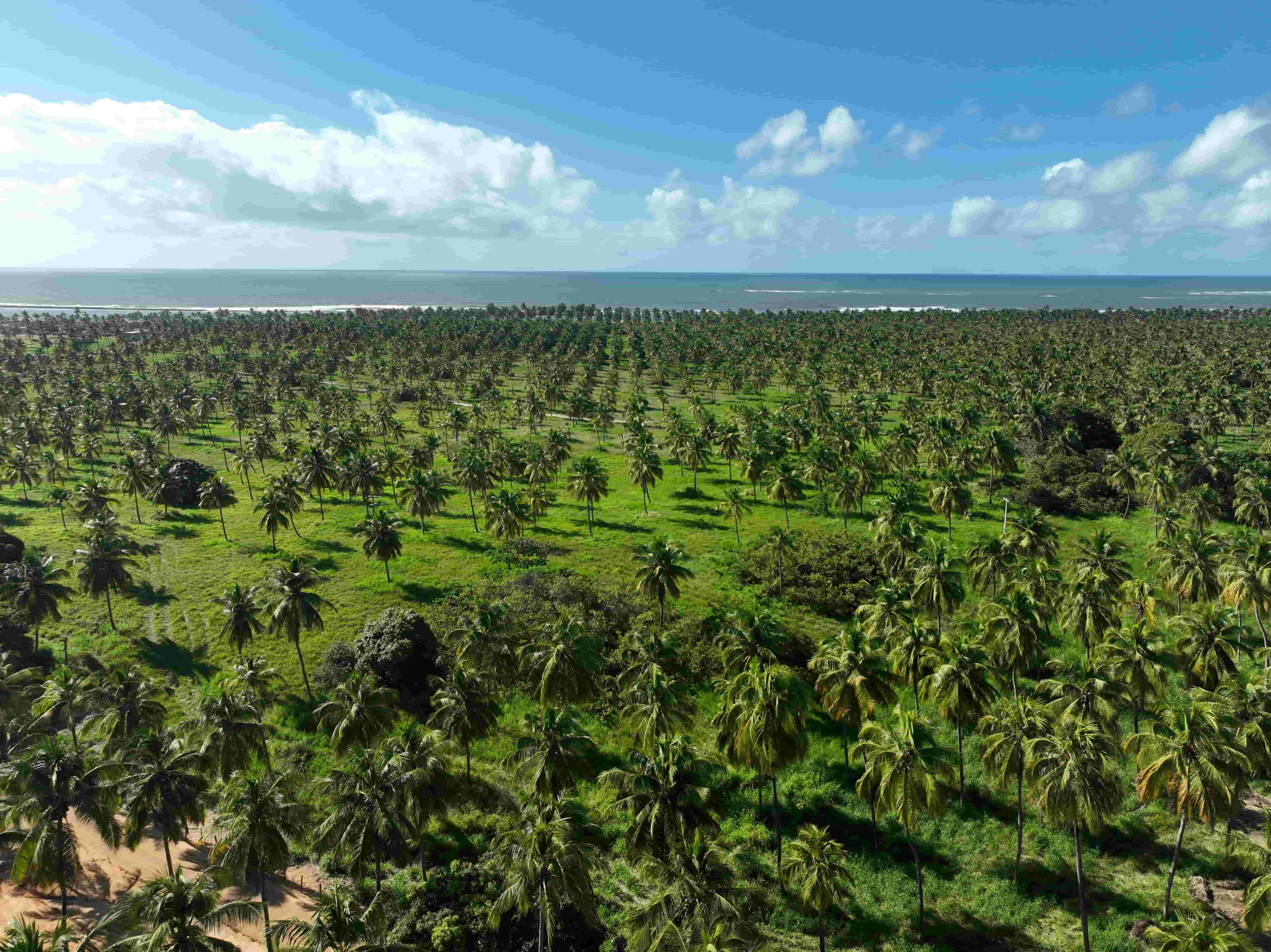
Analyze farms, vegetation and agricultural environments from above.
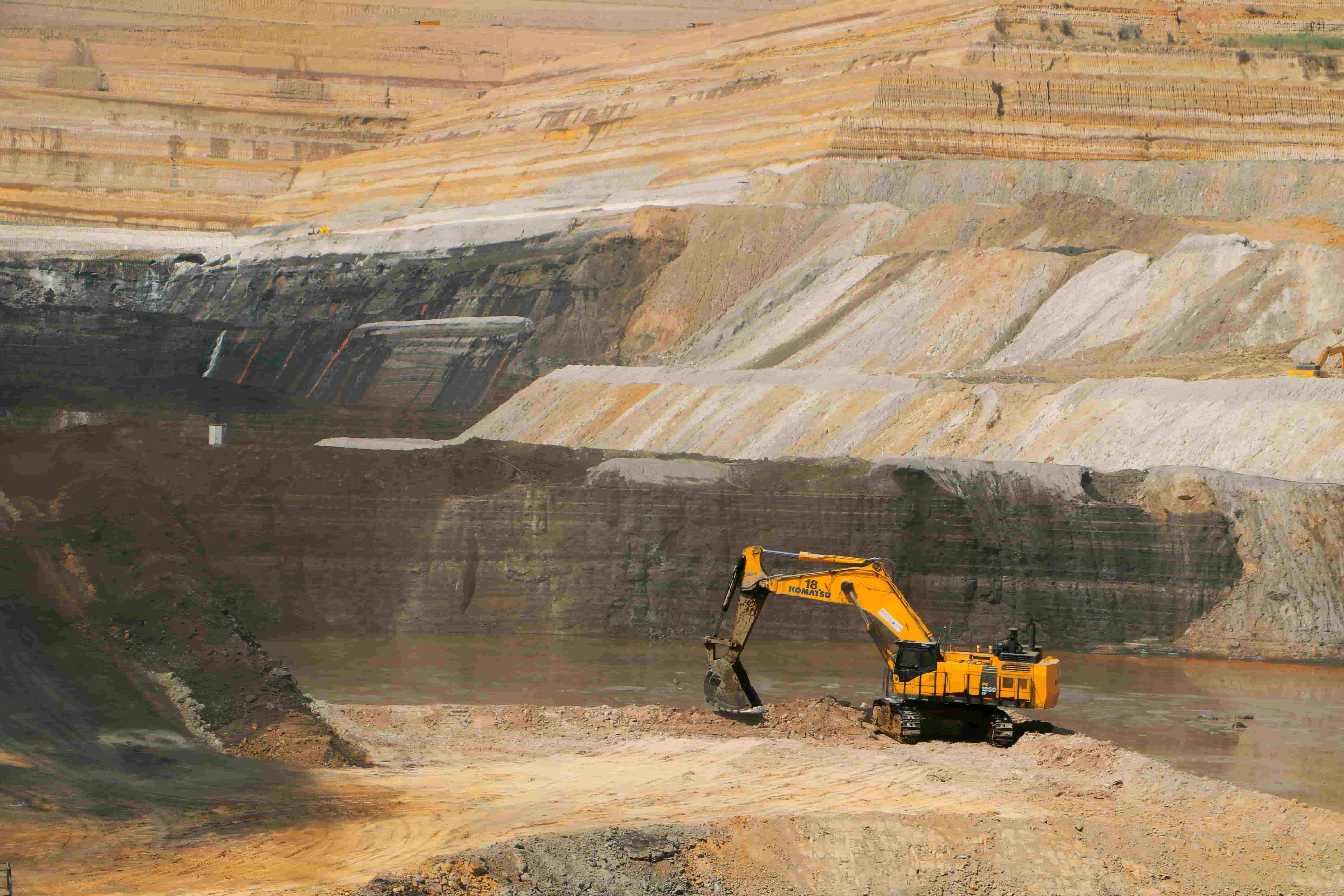
Measure stockpiles, monitor sites and understand changing terrain.
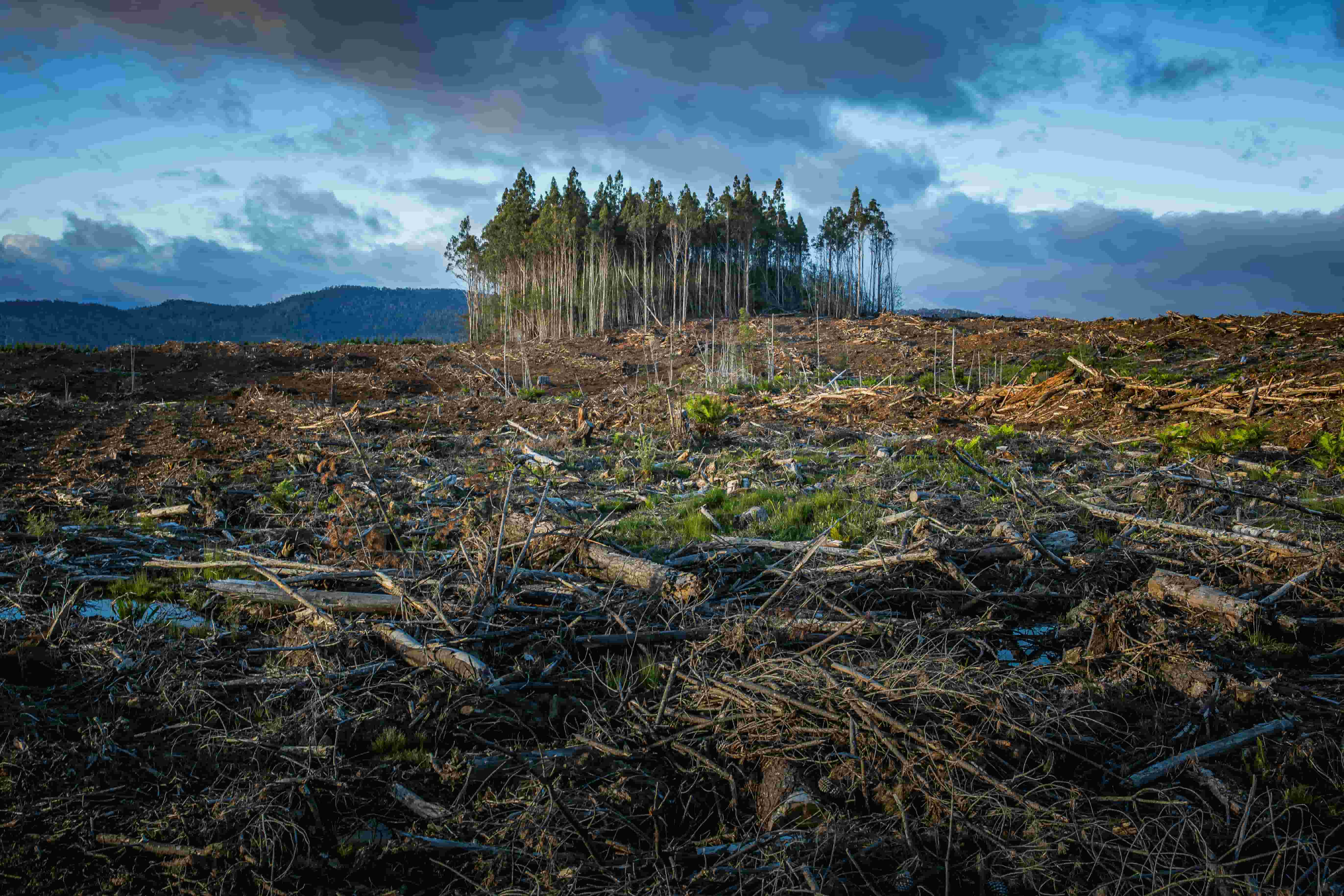
Turn aerial observations into environmental measurements and intelligence.

Understand properties, assets and physical risks using spatial intelligence.

Build better spatial datasets for planning, monitoring and decision-making.
Simple pricing for teams working with aerial imagery, geospatial data and AI-powered analysis.
For individuals exploring aerial intelligence.
$0
Free to get started
Get startedWhat's included
For teams regularly analyzing aerial data.
$99
per month
Start free trialEverything in Starter, plus
For organizations operating at scale.
Custom
Built around your workflow
Talk to usEverything in Professional, plus
Paid plans renew monthly and you can cancel any time. See the billing terms.
Whether you're exploring Airfoto, working with large-scale aerial data or looking for a custom geospatial solution, we'd like to hear from you.
Upload your imagery. Connect your data. Let Airfoto turn it into actionable intelligence.
Get started with Airfoto →